
WCPL 2024: Deandra Dottin saves hope for former champions
2024-08-26 06:36:00
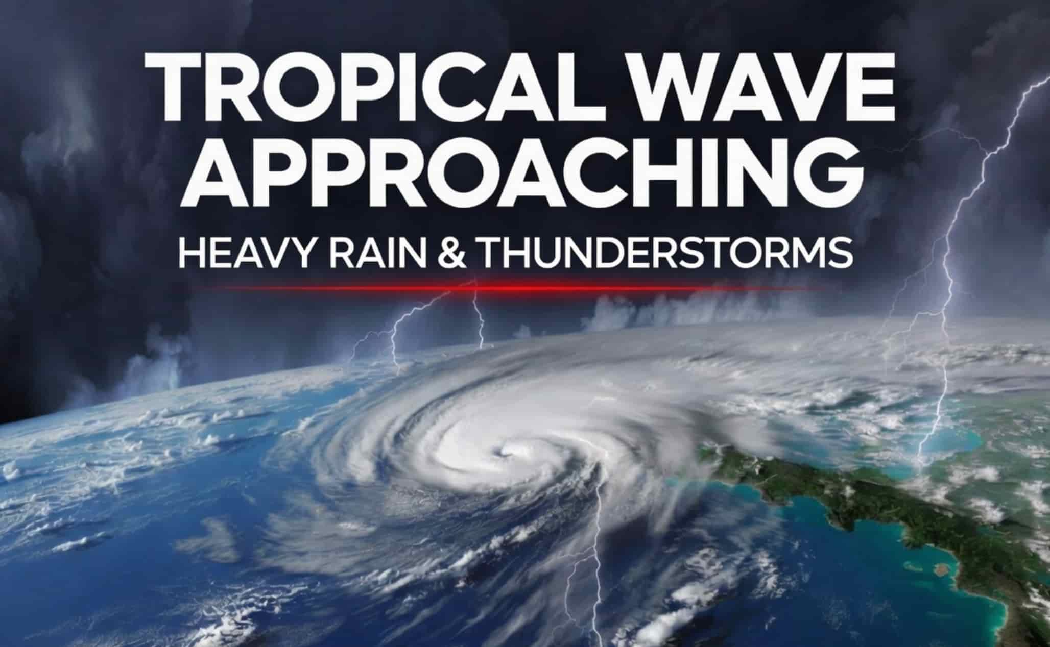
The tropical wave is expected to bring periods of heavy rain, thunderstorms and gusty winds to Grenada, Carriacou and Petite Martinique from late Monday into Tuesday, increasing the risk of localized flooding.
Grenada rainfall forecast
Disaster management and weather authorities in Grenada are closely monitoring a tropical wave advancing through the central Atlantic, which is expected to bring a shift of conditions to Grenada, Carriacou, and Petite Martinique starting late Monday night and continuing into Tuesday.
According to the latest tropical weather outlook, the system is tracking steadily westward at 10 to 15 knots (approximately 11 to 17 miles per hour) and is currently positioned along 58 degrees West longitude, south of 14 degrees North latitude. Satellite imagery indicates that the wave is well-defined, with scattered moderate showers and isolated thunderstorms already actively developing along its path.
As the leading edge arrives on Monday night, Grenada will experience a rapid increase in thick cloud cover followed by light to moderate rainfall. Forecasters warn that these showers could become heavy at times, and the presence of thunderstorms means a higher risk of sudden gusty winds and frequent lightning. Because the ground may quickly become saturated, localized flooding in low-lying or poorly drained areas remains a primary concern for Tuesday morning.
Furthermore, satellite data reveals that this tropical wave is running parallel to the Intertropical Convergence Zone (ITCZ), a known planetary belt of low pressure where northern and southern trade winds collide. The collision of these winds is providing an extra lift to the air mass, triggering what meteorologists call “isolated strong convection.” In plain terms, this means the thunderstorms embedded within this wave are burning with deep, intense updrafts.
This dynamic explains why forecasters are subtly shifting their language to warn of sudden, violent wind gusts and localized, severe lightning strikes, even though the system lacks a circular low-pressure center and is not currently classified as a tropical depression. For Grenada, this translates to a localized risk that goes beyond a basic rainy day. Because the wave's moisture tail is expected to drag behind it, the heavy weather will not be a brief event but will likely settle over the islands in sequential bands.
Disaster management teams are particularly concerned about the rapid saturation of hilly terrain on Tuesday morning, which could trigger flash runoff before the soil can absorb the water. While authorities emphasize there is no need for panic, they note that understanding these hidden layers of the storm highlights why standard precautions, like securing loose assets and cleaning domestic drainage systems are entirely necessary.


