Grenada to celebrate 50th Jubilee Independence, know events
2024-06-11 09:23:01
268Weather now forecasts 12 named storms, four hurricanes and two major hurricanes for 2026, citing the development of a strong El Niño pattern as a key factor.
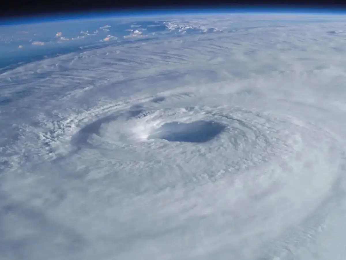
El Niño
St. John’s, Antigua: Meteorological service 268Weather has officially revised its 2026 Atlantic hurricane season forecast downward, now predicting a significantly quieter season with 12 named storms, four hurricanes and two major hurricanes.
The reduced numbers mark a welcome shift for coastal communities across the region, as forecasters point to the rapid development of a very strong El Nino event as the primary reason for the downgrade.
The updated outlook places the upcoming season noticeably below historical averages, bringing potential relief after years of heightened tropical activity.
Named Storms: Projected at 12 (down from previous estimates)
Hurricanes: Projected at 4
Major Hurricanes (Category 3+): Projected at 2
Expected Overall Activity: Below the 1991–2020 seasonal average
For perspective, a typical Atlantic hurricane season brings 14 named storms, 7 hurricanes, and 3 major hurricanes. The new forecast suggests that atmospheric conditions will actively work against tropical development throughout the peak months of August, September, and October.
The primary force suppressing storm creation this year is a powerful El Nino climate pattern unfolding in the Pacific Ocean. El Nino occurs when sea surface temperatures in the equatorial Pacific warm significantly above normal. Although this warming happens thousands of miles away, its impacts ripple across the global climate system.
When El Nino peaks, it creates intense vertical wind shear over the Caribbean Sea and the main development region of the tropical Atlantic. Wind shear refers to sharp changes in wind speed and direction at different altitudes in the atmosphere.
Tropical cyclones require calm, vertical air columns to build energy and organise into tight, rotating storms. High wind shear acts like atmospheric scissors, tilting the storm’s structure and tearing developing storm tops away before they can consolidate into powerful hurricanes.
Additionally, forecasters note that pockets of dry air and Saharan dust plumes blowing off the West African coast are currently sweeping across the Atlantic basin. This dry air weakens convective activity, robbing early-stage tropical waves of the moisture they need to thrive.
While a quieter forecast offers a sense of relief, meteorologists warn that seasonal numbers never tell the full story regarding land impacts. A low-activity season can still produce a catastrophic landfalling hurricane.
Historical precedents clearly support this warning. Some of the most destructive hurricanes on record occurred during overall slow or below-average hurricane seasons.
Residents throughout Antigua and Barbuda, the wider Caribbean, and along vulnerable coastal regions are strongly urged to maintain standard hurricane preparedness measures. Local authorities recommend keeping emergency supplies fully stocked, reviewing family evacuation routes, securing structural storm shutters, and closely following daily meteorological updates as the peak of the season unfolds.